Darjeeling: The Queen of the Hills
The Darjeeling Safarnama runs 14.1 km across 8 monuments, from Darjeeling Railway Station to Ghum Monastery, part of The High Altitude Trail. Darjeeling is known as the queen of the hills, here is the story the route tells, one stop at a time.
Darjeeling Railway Station
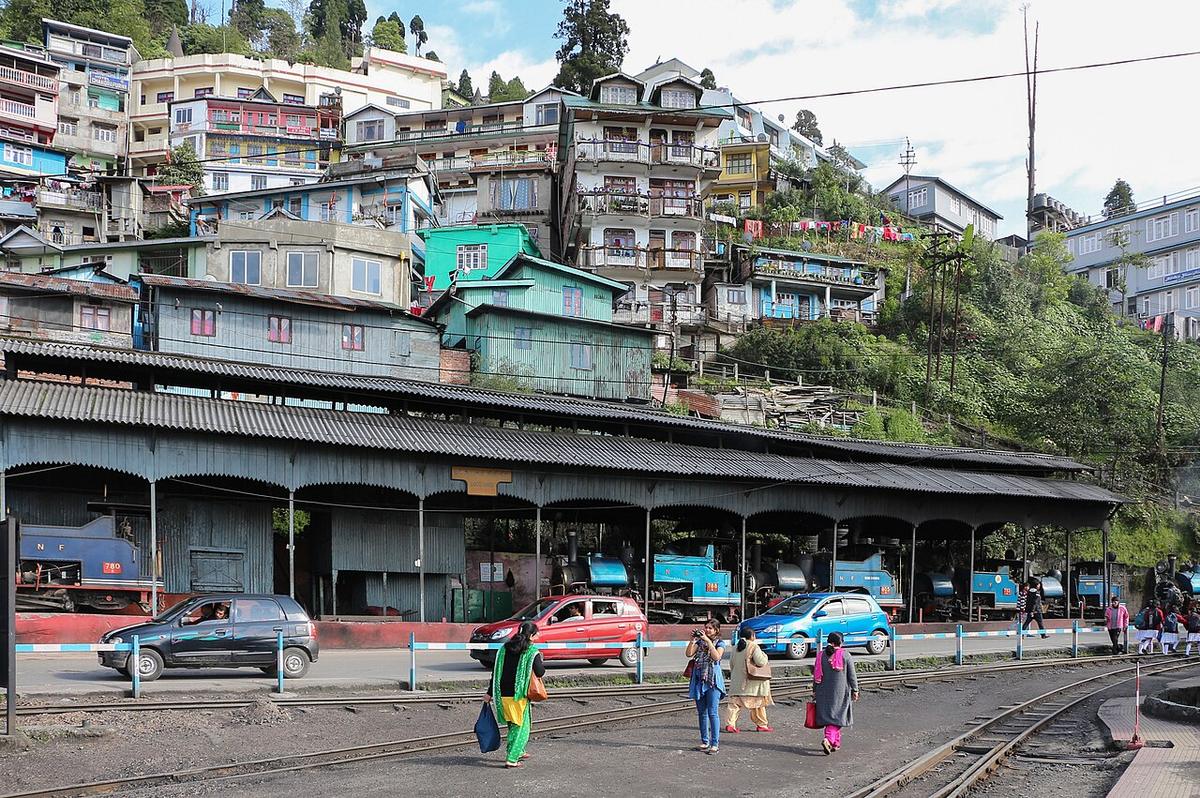
The northern terminus of the Darjeeling Himalayan Railway, the "Toy Train", a two-foot narrow-gauge line built between 1879 and 1881 that climbs roughly 2,100 metres from the plains at New Jalpaiguri to this station, 88 kilometres away, using switchbacks and loops to gain height without a single tunnel. UNESCO declared it a World Heritage Site in 1999. Diesel locomotives run most services now, but the vintage steam-hauled "Red Panda" still works the line, and daily tourist trains still climb from here to Ghum, the same place this route ends.
Chowrasta
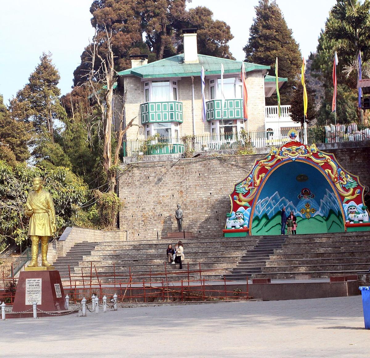
Chowrasta, literally "the crossing of four roads", is Darjeeling’s central square, laid out on the ridge at the heart of the hill station and, since the Victorian era, the fashionable place for residents and visitors to promenade and be seen. It remains exactly that today: a car-free plaza ringed by shops and hotels, still the town’s default meeting point, still the first place a Darjeeling resident tells a visitor to find them.
Observatory Hill (Mahakal Temple)
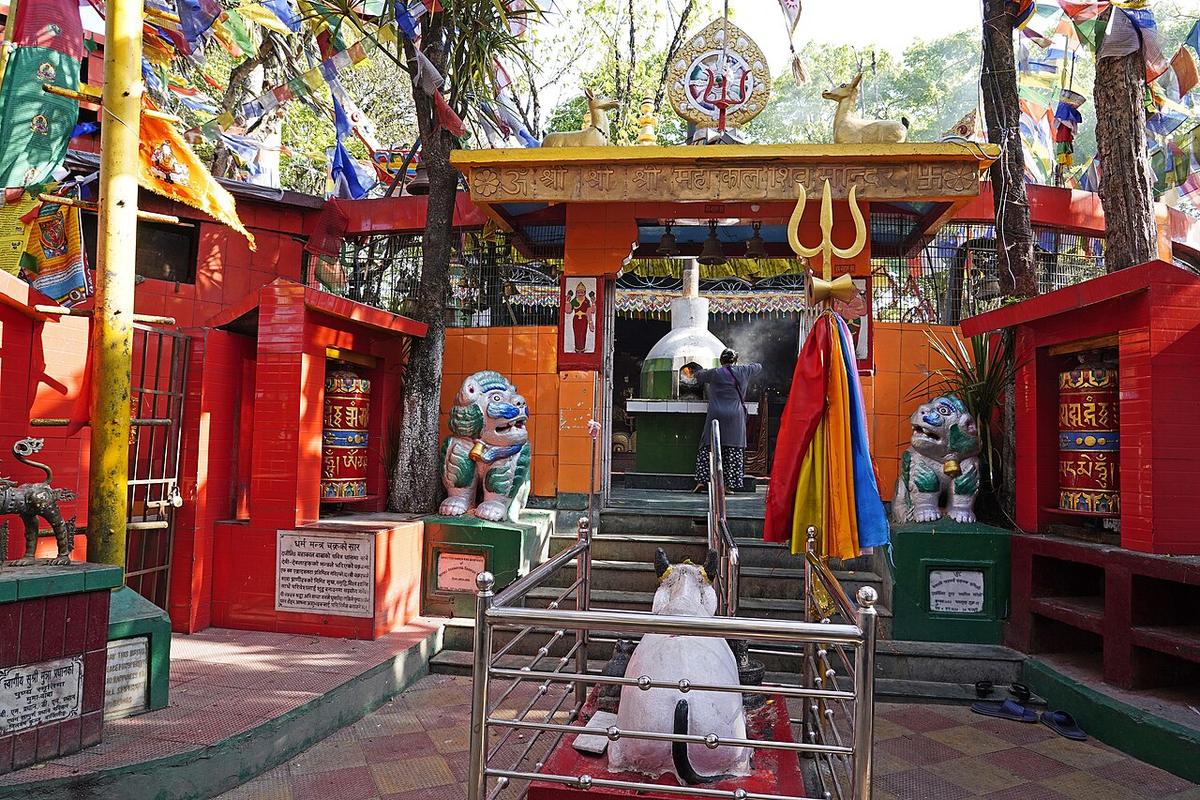
A Buddhist monastery once stood on this hilltop, the reason Lepcha and Tibetan settlers called the whole area Dorje-ling, "place of the thunderbolt," after the vajra, the ritual weapon at the centre of Tibetan Buddhist practice. That monastery is gone; the site is now the Mahakal Temple, dedicated to a fierce form of Shiva, built around a cave still considered sacred. Buddhist prayer flags and Hindu shrines share the same short walk to the summit, and Bhutia pilgrims still hold the hill sacred regardless of which religion currently occupies it.
Padmaja Naidu Zoo & Himalayan Mountaineering Institute
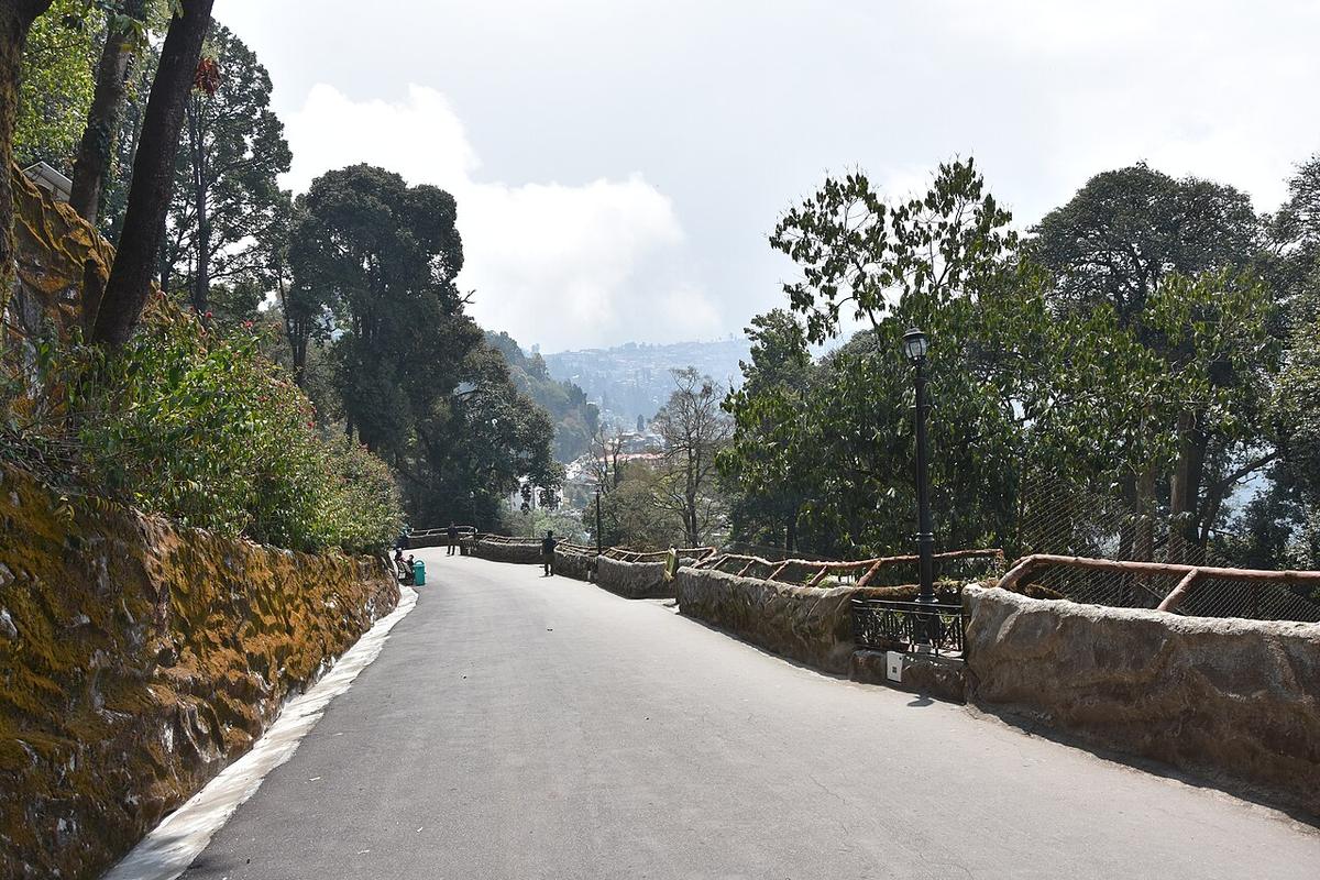
The Padmaja Naidu Himalayan Zoological Park, opened in 1958 and named for a former Governor of West Bengal, is India’s highest-altitude zoo and specialises in animals built for cold: successful captive-breeding programmes for the snow leopard, the Himalayan wolf and the red panda. It shares its campus with the Himalayan Mountaineering Institute, founded on 4 November 1954 by Jawaharlal Nehru after Tenzing Norgay and Edmund Hillary’s first ascent of Everest the previous year, Norgay himself became its first director of field training, and a memorial to him stands on the grounds today.
Happy Valley Tea Estate
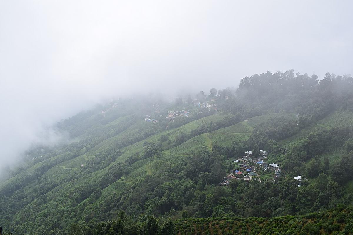
Founded in 1854 as the Wilson Tea Estate and renamed Happy Valley in 1929, this is the closest working tea garden to Darjeeling town and, at around 2,100 metres, one of the highest tea factories in the world. Its hand-rolled first-flush leaf has been sold at a premium by Harrods in London; the original factory, still working, doubles as a small museum of the slow-speed engines and shaft machinery that have processed the leaf here for over a century.
Peace Pagoda
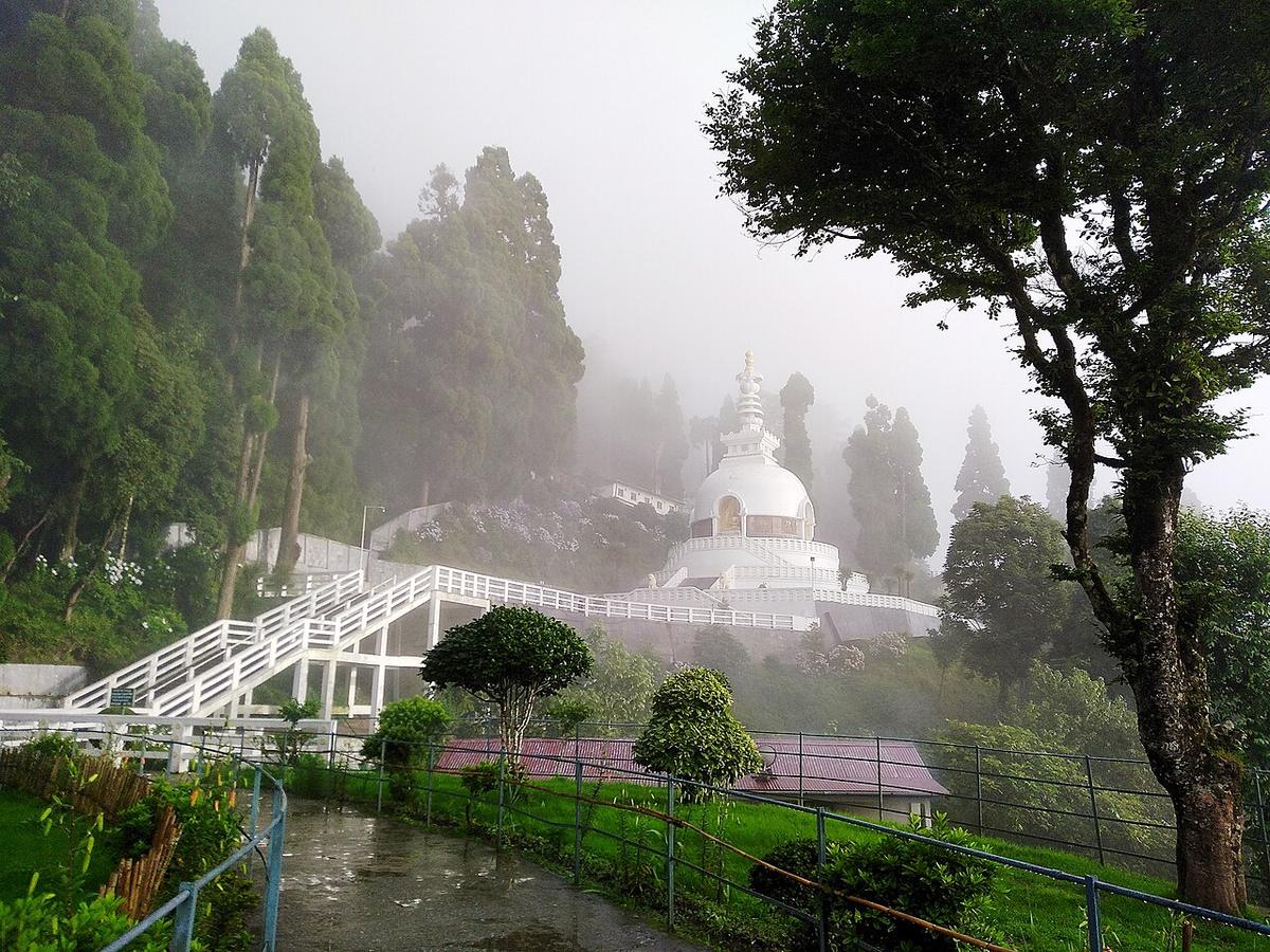
The Darjeeling Peace Pagoda, on the slopes of Jalapahar hill, had its foundation stone laid on 3 November 1972 by the Japanese Buddhist monk Nichidatsu Fujii, founder of the Nipponzan-Myohoji order, and was formally inaugurated on 1 November 1992. At 28.5 metres tall, it is one of more than eighty peace pagodas Fujii’s followers built around the world after the Second World War, a Japanese religious order choosing a Himalayan hill station, thousands of kilometres from home, to make its point about shared peace.
Batasia Loop
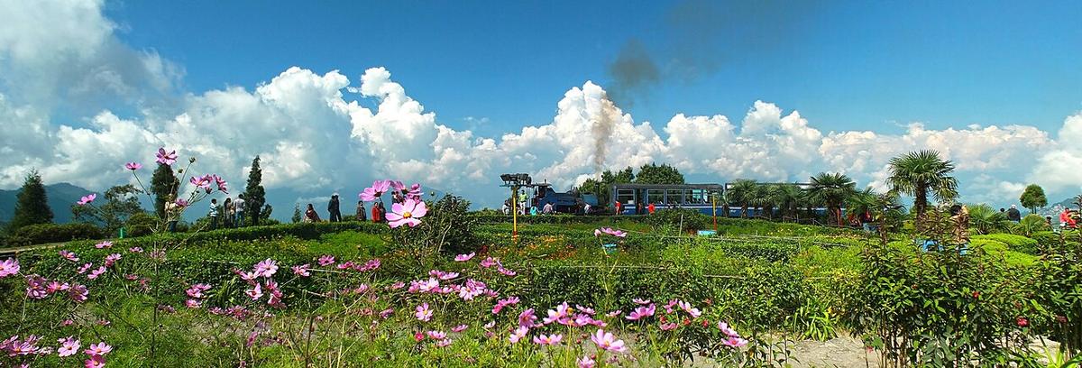
Built in 1919, the Batasia Loop is a spiral in the Darjeeling Himalayan Railway’s track, laid out so the line could lower its climbing gradient by looping the train back over its own path on a small hill below Ghum. A war memorial to Gorkha soldiers who died in India’s conflicts since independence in 1947 now stands at its centre, framed, on a clear day, by Kanchenjunga rising behind it.
Ghum Monastery
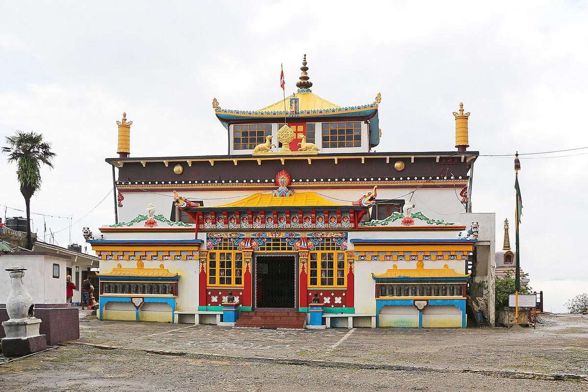
Yiga Choeling Monastery, founded around 1850 by the Mongolian monk Sherab Gyatso and belonging to the Gelug, or "Yellow Hat", school of Tibetan Buddhism, holds a fifteen-foot statue of Maitreya, the Buddha yet to come, commissioned by the monastery’s early-twentieth-century head Domo Geshe Rinpoche. It stands in Ghum, the highest point on the Darjeeling Himalayan Railway at 2,260 metres, India’s highest railway station, a few hundred metres from where this route ends.