Dharamshala: Little Lhasa
The Dharamshala Safarnama runs 16.5 km across 9 monuments, from HPCA Stadium to Bhagsu Waterfall, part of The High Altitude Trail. Dharamshala is known as Little Lhasa, here is the story the route tells, one stop at a time.
HPCA Stadium
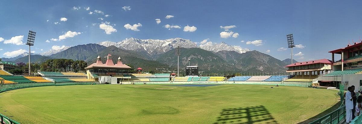
Opened in 2003, the Himachal Pradesh Cricket Association Stadium is the home ground of the Himachal Pradesh cricket team and one of the most photographed cricket venues in the world, its stands framed by the snow-streaked Dhauladhar range behind the boundary. It has hosted IPL matches and, in 2023, five games of the Cricket World Cup, including New Zealand v India. At around 1,150 metres it sits in the valley below the town proper, the low point of this route, and everything from here is up.
Jama Masjid (Kotwali Bazaar)
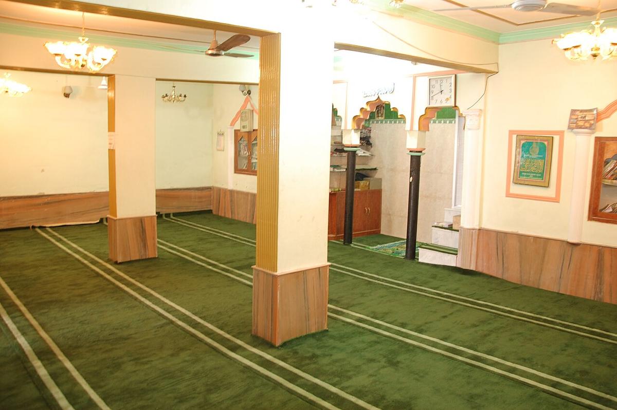
A mosque serving Dharamshala’s Muslim community, standing in Kotwali Bazaar, the old town’s central market street, laid out long before the hill station above it, McLeod Ganj, existed as a tourist destination. The bazaar remains Dharamshala’s working commercial spine: hardware, cloth and provisions rather than souvenirs, the town doing its actual business.
Museum of Kangra Art
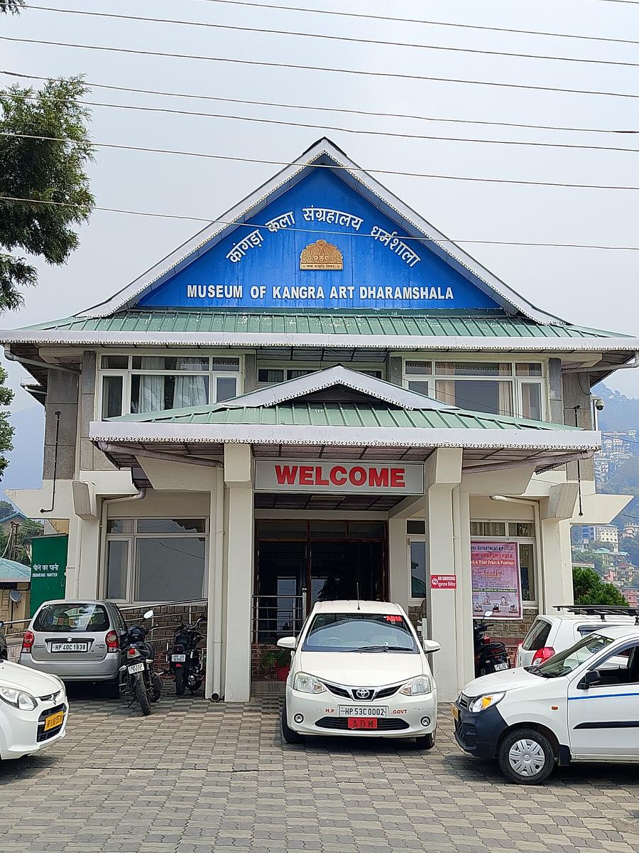
A state museum housing the Kangra Valley’s miniature-painting tradition, delicate, lyrical work developed under local royal patronage from the 18th century, alongside textiles, jewellery, weapons and sculpture from the wider region. It is Himachal Pradesh’s attempt to keep a genuinely major regional art form visible, in the town nearest to where much of it was made.
St John in the Wilderness
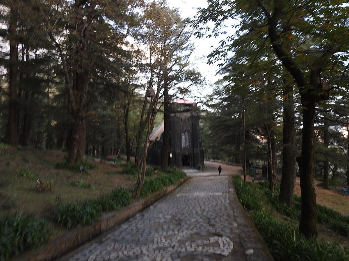
Built in 1852 in a deodar forest at Forsyth Gunj, on the road up to McLeod Ganj, this Anglican church is known for its Belgian stained-glass windows, donated by Lady Elgin, wife of Lord Elgin, a Viceroy of India who died in Dharamshala in 1863 and is buried in the churchyard. The 1905 Kangra earthquake, which killed close to 19,800 people and flattened most of the town above, destroyed the church’s spire and bell tower; a replacement bell, cast in England in 1915, still hangs in the compound.
Tibet Museum
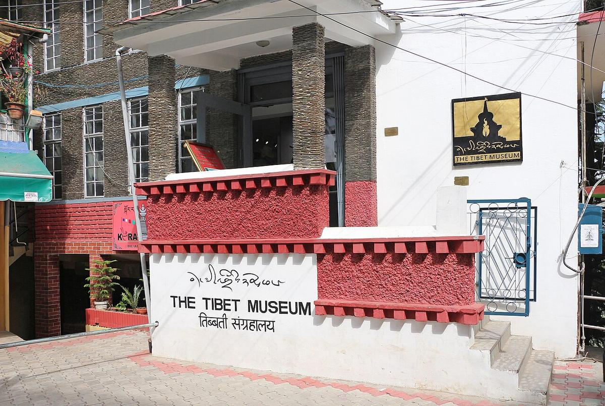
Opened by the Central Tibetan Administration within the Tsuglagkhang complex, the Tibet Museum documents Tibetan history, the 1959 flight into exile that brought the 14th Dalai Lama and tens of thousands of Tibetans across the Himalayas, and the situation inside Tibet since. It is a plain, direct account, built by the community it is about, in the town that became their new capital.
Tsuglagkhang Complex & Namgyal Monastery
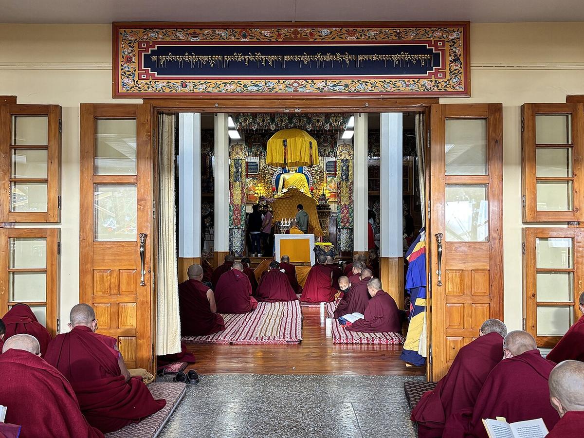
The Tsuglagkhang complex has been the seat of the 14th Dalai Lama since 1960 and the spiritual centre of the Tibetan exile community, the reason McLeod Ganj is nicknamed "Little Lhasa." Namgyal Monastery, his personal monastery, was originally founded in Tibet in 1564–65 and re-established here after 1959; monks trained in Kalachakra and other tantric practices still study within its walls. A large gilded Buddha sits inside the main temple hall, and the complex draws pilgrims, exiles and visitors in roughly equal numbers.
Dharamkot
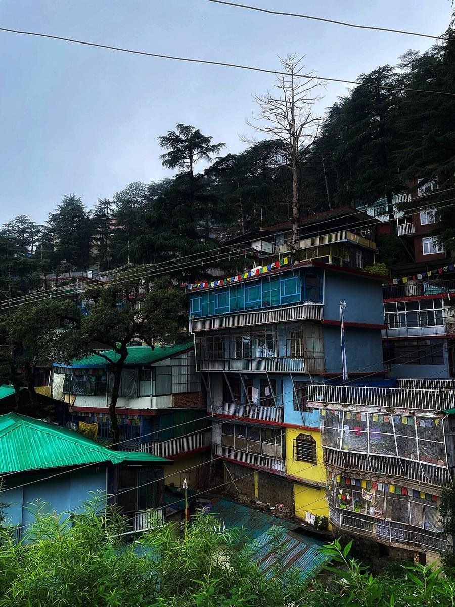
A small settlement above McLeod Ganj, once a Gaddi shepherd hamlet, now known chiefly as the last real village before the trail to Triund and the Dhauladhar high passes, and, lower down, as a retreat popular with long-staying travellers and meditation students at centres like Tushita and Dhamma Shikara. From its ridge there are open views across the Kangra Valley and back along the range you have been climbing beside all day.
Bhagsu Nag Temple
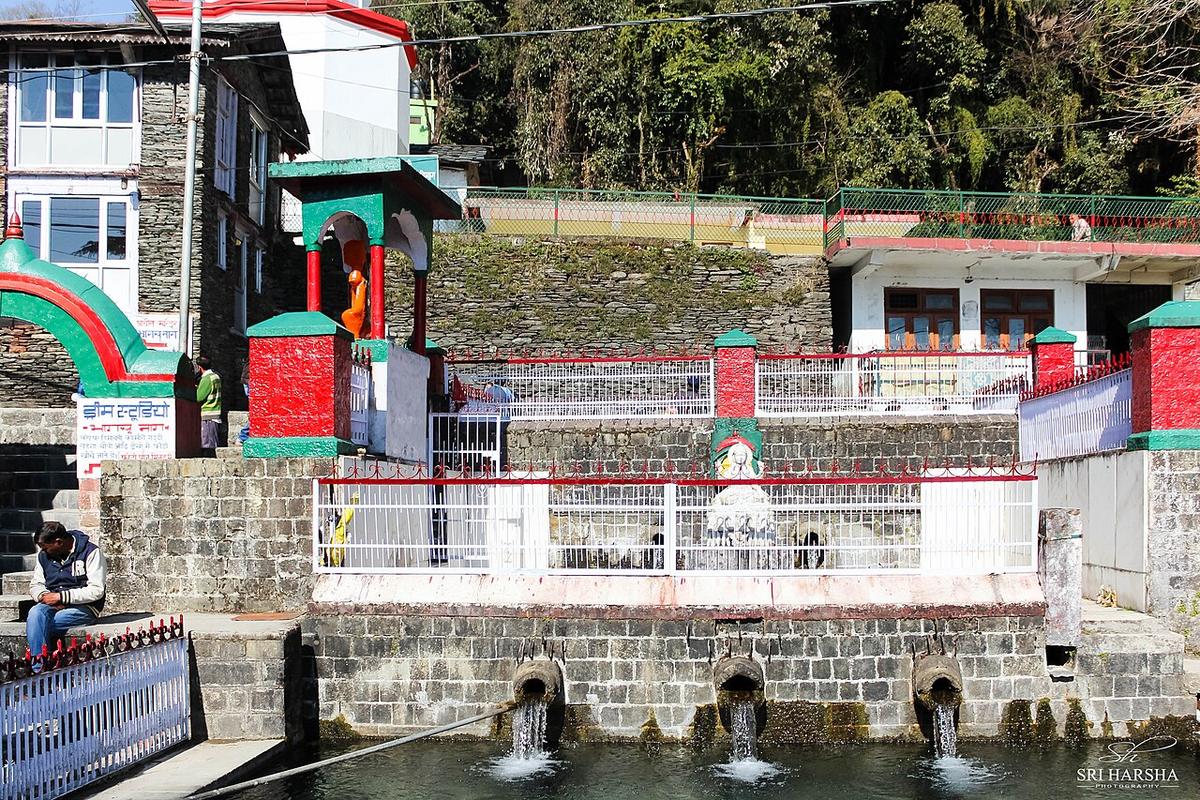
An old temple to Bhagsu Nag, a serpent deity, in the village of Bhagsu just east of McLeod Ganj, with an adjoining spring-fed water tank still used for ritual bathing. The village takes its name from the temple and predates the area’s tourism entirely; Gorkha soldiers who settled here with the British in the early 19th century, forming the 1st Gorkha Rifles in 1815, would have known it as the local shrine long before backpackers arrived.
Bhagsu Waterfall
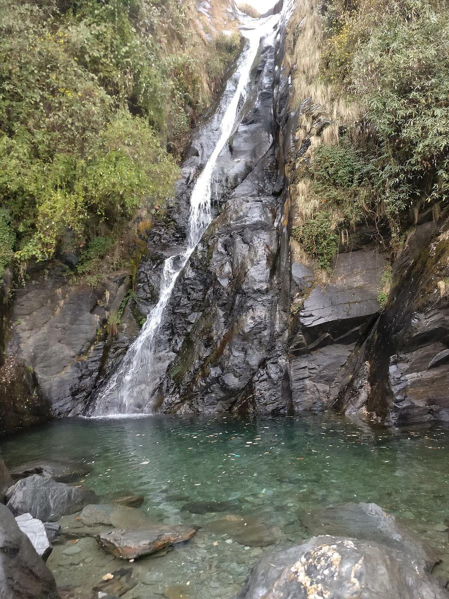
A seasonal cascade reached by a short, steep trail above Bhagsu village, fullest in the monsoon and the weeks after, dropping over a rock face into a pool that draws both pilgrims from the temple below and travellers up from McLeod Ganj. It sits near the highest point of this route, in the shadow of the Dhauladhar range that has been visible from nearly every stop since the stadium at the start.