Manali: The Valley of the Gods
The Manali Safarnama runs 10.7 km across 10 monuments, from Manali Bus Stand to Jogini Waterfall, part of The High Altitude Trail. Manali is known as the valley of the gods, here is the story the route tells, one stop at a time.
Manali Bus Stand
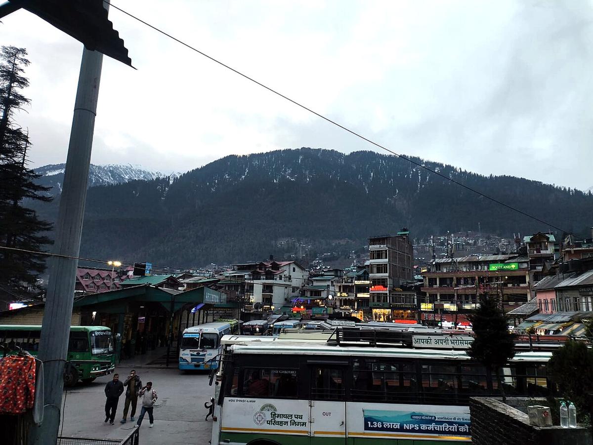
The Kullu Valley’s main transit point, on the west bank of the Beas, where the overnight Volvo buses from Delhi and Chandigarh end a twelve-hour climb out of the plains. The town below takes its name from the Sanskrit Manu-Alaya, ‘abode of Manu’, after the lawgiver Hindu tradition says stepped ashore near here when the floodwaters receded and began human life again. What was a farming and trout-hatchery village until the 1960s became Himachal’s busiest hill town once domestic tourism, and later trekking and paragliding, discovered it.
The Mall
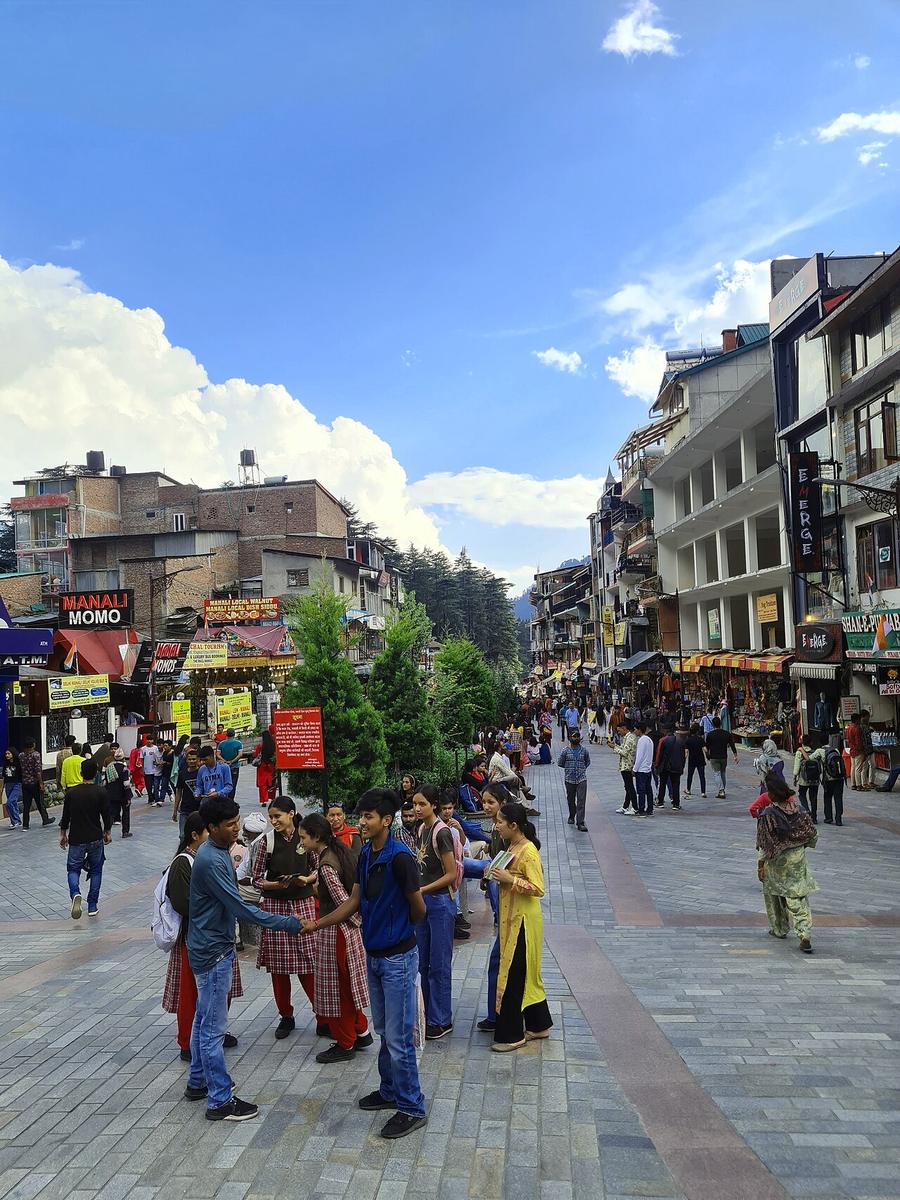
Manali’s pedestrian high street, a short strip of pahari-roofed shopfronts selling Kullu shawls, wool caps and trekking gear that replaced an older bazaar once the town’s economy turned from orchards to tourism. It is the busiest, loudest stretch in the valley, the one every taxi, tour group and honeymoon couple in Manali passes through at least once.
Van Vihar
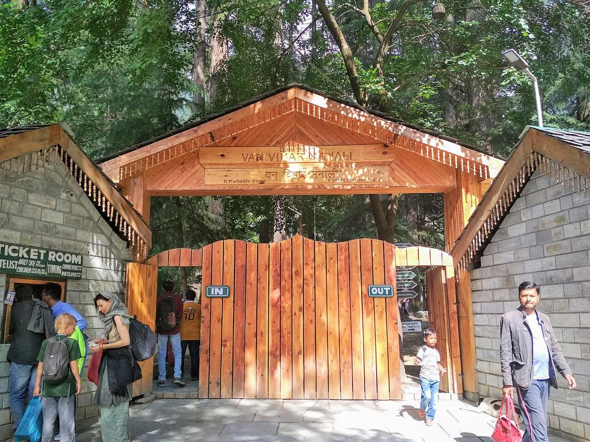
A fenced park of tall deodar cedar at the northern edge of the Mall, laid out along an old channel of the Beas with a small boating pond at its centre. Some of its trees are reckoned centuries old, predating the resort town that has grown up around them, a last strip of the forest Manali was built inside of, kept standing on purpose.
Himalaya Nyingmapa Buddhist Monastery
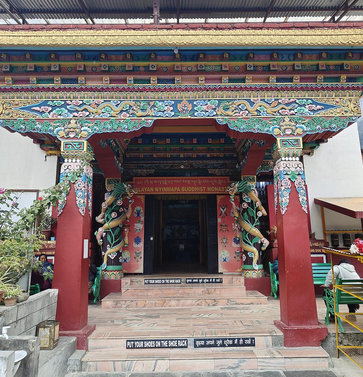
One of two Buddhist gompas raised in Manali from the 1960s onward by Tibetan families who settled in the Kullu Valley after 1959, alongside a matching Gelugpa monastery a short walk away. Bright murals, prayer wheels and a small handicrafts shop fund the community that built and still maintains it, a working monastery, not a museum piece.
Club House
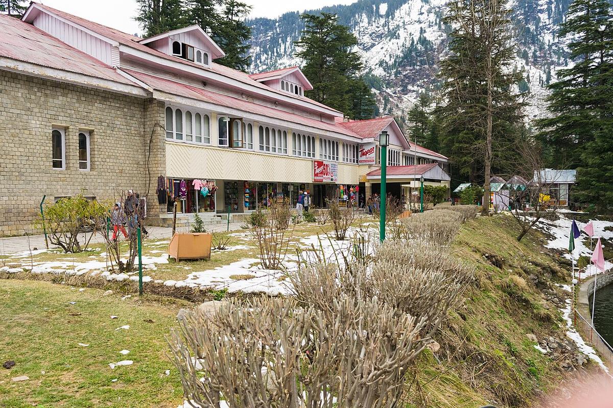
The Himachal Pradesh Tourism Development Corporation’s riverside club and garden, built for the wave of Indian domestic honeymoon tourism that first made Manali a national name in the 1970s and ’80s, long before backpackers, trekkers and paragliders arrived and gave the town its second identity. It still has a bar, a restaurant and a few fairground rides on the lawn by the Beas.
Hadimba Devi Temple
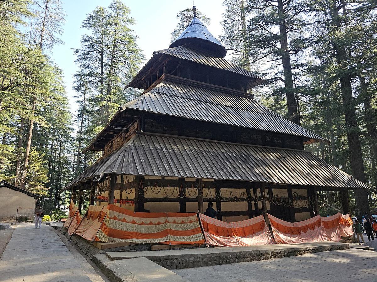
A pagoda-roofed cave shrine built in 1553 for Raja Bahadur Singh, its 24-metre wooden tower carved over a cave where, by Mahabharata legend, Hidimbi, a rakshasi who married the Pandava warrior Bhima and bore him a son, Ghatotkacha, stayed behind to meditate after Bhima returned to his brothers, and in time was worshipped as a goddess herself. It stands inside the Dhungri deodar forest, among the oldest trees near the town.
Manu Temple
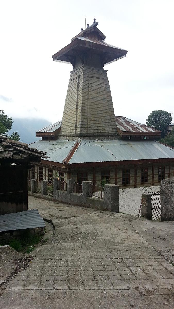
A modest stone-and-timber shrine in the orchards of Old Manali, dedicated to Manu, the sage and lawgiver whom Hindu tradition credits with re-founding human civilisation here after a great flood: the legend that gives the whole town its name, Manu-Alaya. Rebuilt more than once over the centuries, it remains an active pilgrimage site, busiest around Manu Rishi’s birthday in the monsoon.
Vashisht Temple & Hot Springs
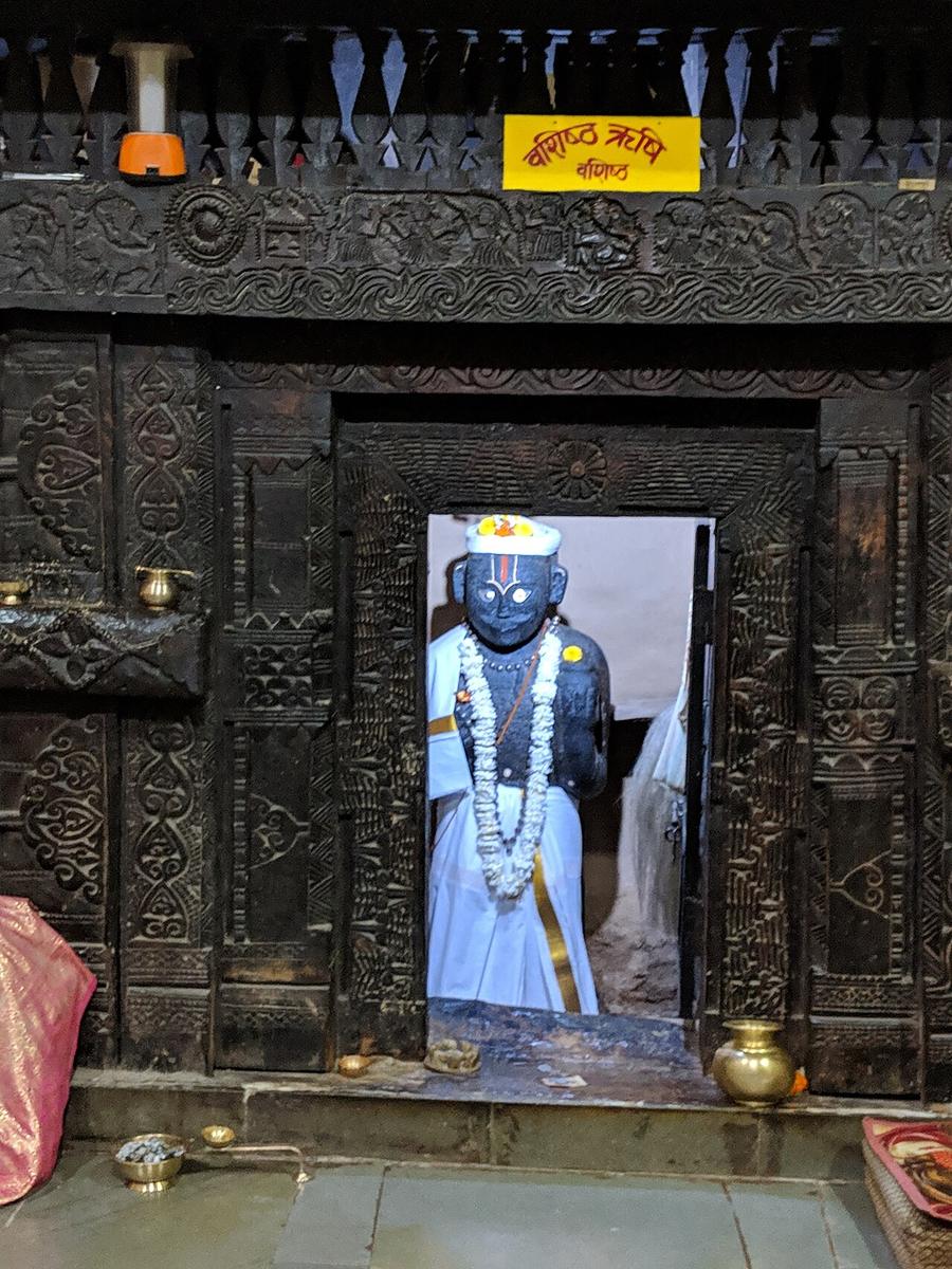
A stone temple to the sage Vashisht, with a wooden Rama shrine beside it, on the left bank of the Beas about three kilometres from central Manali by the direct road, reached, on this route, the longer way round through Old Manali. Natural sulphur springs rising beside the temples are channelled into public and private bathing tanks that locals and pilgrims have used for their believed healing properties for centuries; the village around them has since filled with backpacker cafes.
Jogini Mata Temple
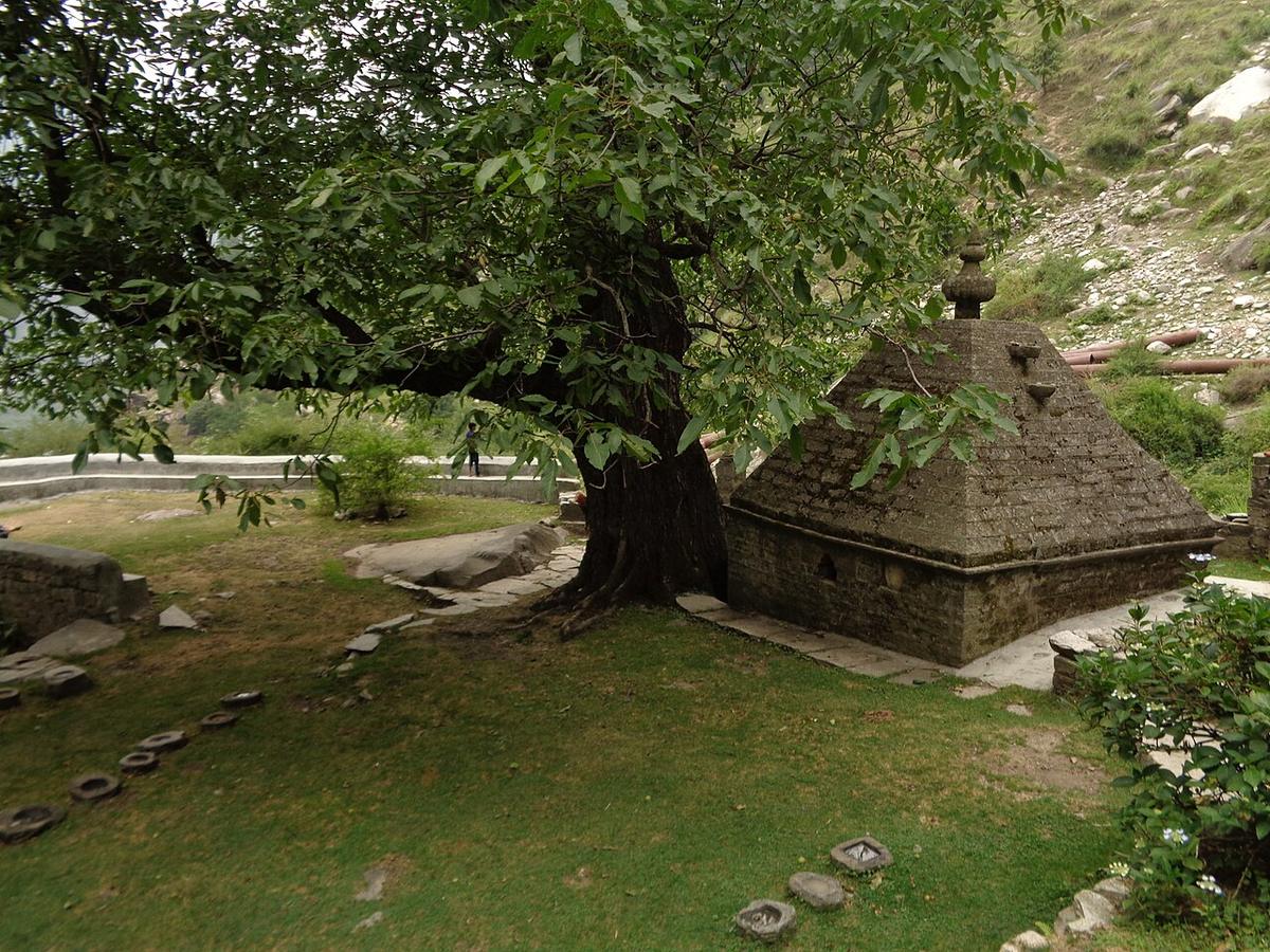
A small hillside shrine to the local devi Jogini, on the forest path above Vashisht where the maintained village lane finally gives way to a real trail, through apple orchards, pine and a stream crossing or two, for the last push up to the waterfall. Jogini is worshipped locally as a bringer of rain, and the shrine marks the point pilgrims and trekkers alike treat as the start of the climb proper.
Jogini Waterfall
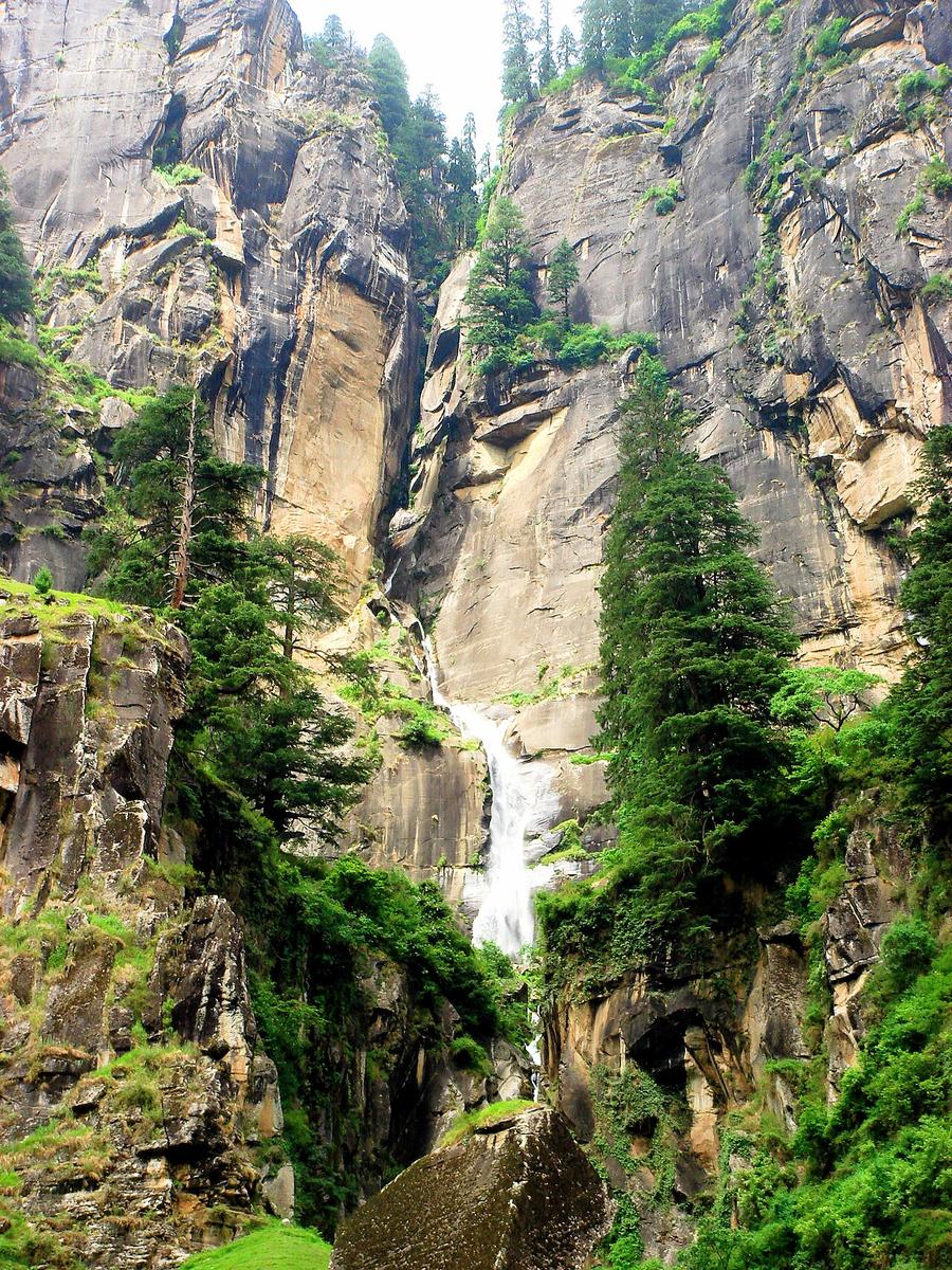
A multi-tiered cascade dropping roughly 45–50 metres off the ridge above Vashisht, accounts of its exact height vary, as they do for most waterfalls measured by eye rather than survey, reached by a short, steep climb through the last of the orchards and pine. Locally sacred, and popularly believed to have healing properties, it marks the natural end of the trail out of the valley and the highest ground on this route.